Air Quality Data
Measuring the air quality of Mecklenburg County.
Mecklenburg County Air Quality maintains a network of real-time, federally-approved monitoring stations that measure the amount of pollution in our outdoor air. The data collected from the monitoring stations is used to generate an Air Quality Index value that allows county residents to make informed decisions to protect their health.
Protect Your Health with Air Quality Data
Meteorological Data
| Current Meterological Data | |||
|---|---|---|---|
| Temperature | Pressure | ||
| Precipitation | Humidity | ||
| Wind Speed & Direction | Solar Radiation | ||
Additional Information
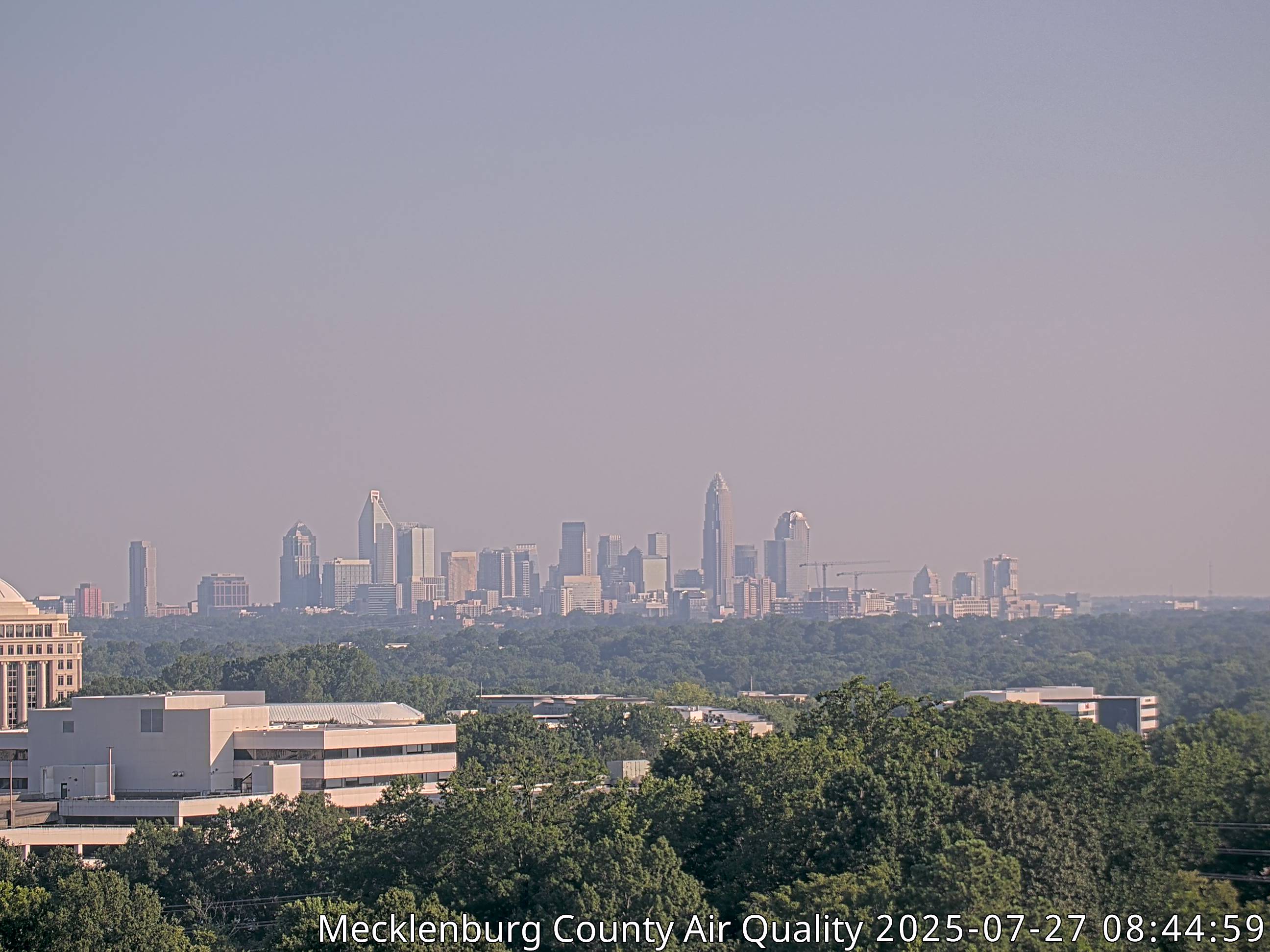
Visibility Camera

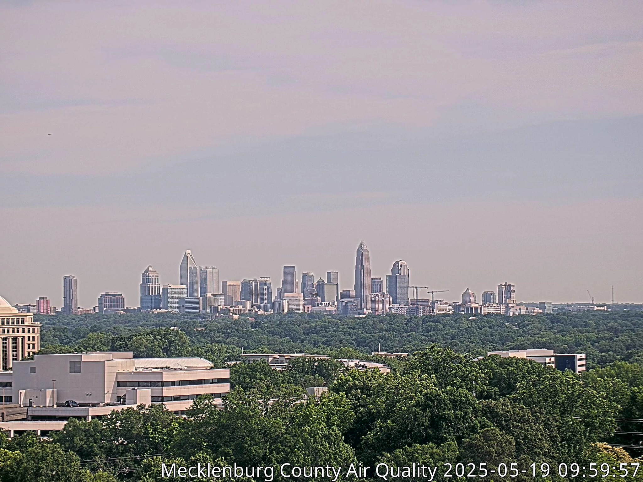
Example of Good Conditions

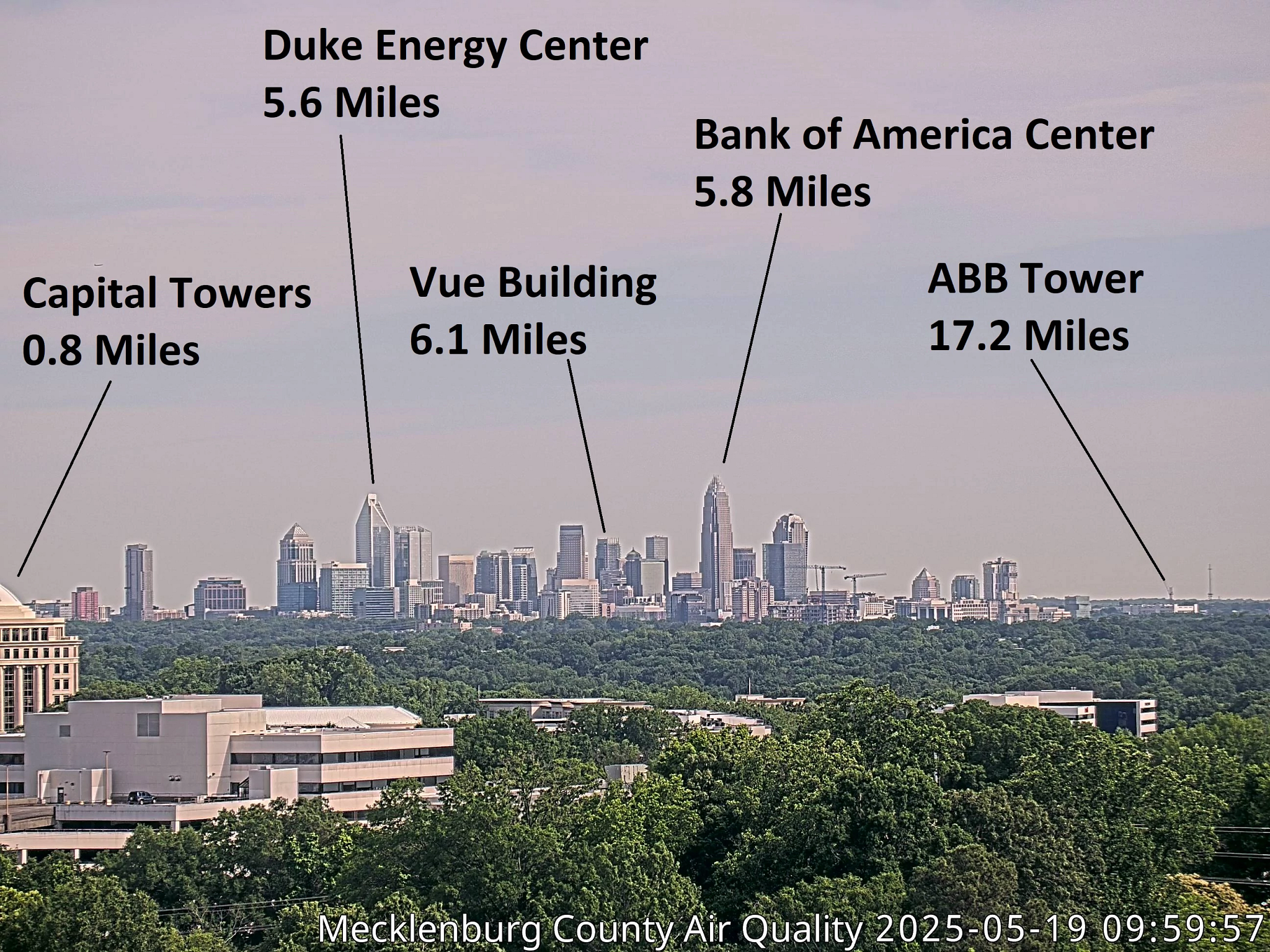
Visible Landmarks

Interactive Map of Air Quality
Pollutant data is influenced by meteorological conditions
Disclaimer: This map shows current air quality (NowCast AQI) for Ozone or PM, whichever is highest. Due to processing time, this map may take longer to update than the dial.

